


Starting point: Serravalle P.se station (Masotti location) Destination: CAI 817 trail – Collina – Vinacciano
Length: 4.4 km (one way)
Duration: outward journey 2.10 hours, return 1.50 hours
Difference in altitude: ascent 200m, descent 50m
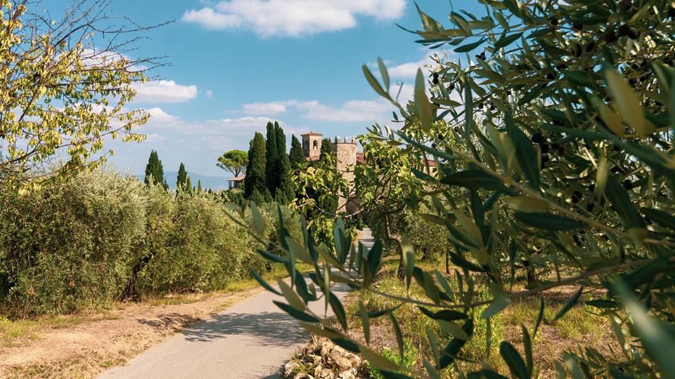
Take the asphalt road along the tree-lined avenue in front of the station until it becomes a dirt road after a series of industrial warehouses. Continue until you cross a holm oak forest and, then, climb through fields of olive trees until reaching a group of houses and a crossroads, characterized by a ruined stone with an iron cross. We turn left and then again left at the next crossroads, walking slightly downhill into the woods. Then the small road joins the asphalt road. We continue the route and, just before arriving at the farmyard near a large concrete pole, we take a small road on our right that descends between fields and enters the woods. Immediately after crossing a stream, the path becomes wider until it emerges on the asphalt road which also represents the meeting point with the CAI 817 path. In front of us is the asphalt road leading to the town of Vinacciano (reachable in a few minutes); on the left the asphalt road descends to Collina and then to Pontelungo, a locality in the environment of Pistoia.