Routes / Out of town
CAI Trail 815: from Casalguidi to Mungherino
Along ancient mule tracks
Casalguidi
A trail connecting Casalguidi to the Montalbano ridge, reaching the village of Mungherino, from where exploration can continue towards San Baronto.
Stages Route
Casalguidi
Casalguidi
TAPPA 1
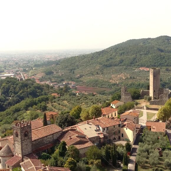
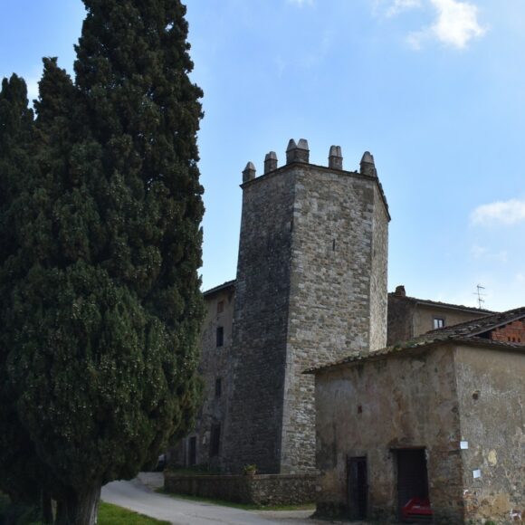
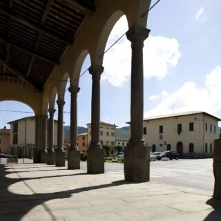
Casalguidi
Casalguidi, fortified in 1181, was contested between the Lombards, Carolingians, and the Counts Guidi. It was destroyed in 1301 by the troops of Corso Donati and again in 1391 by John Hawkwood. It experienced a period of peace in the 15th century. The feuds between the Panciatichi and the Cancellieri ended only with Cosimo I, who subjected it to Serravalle.